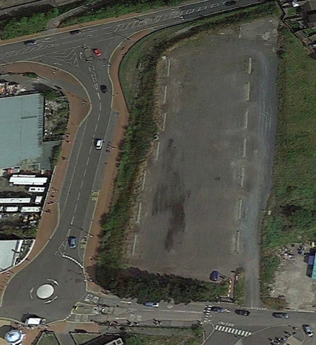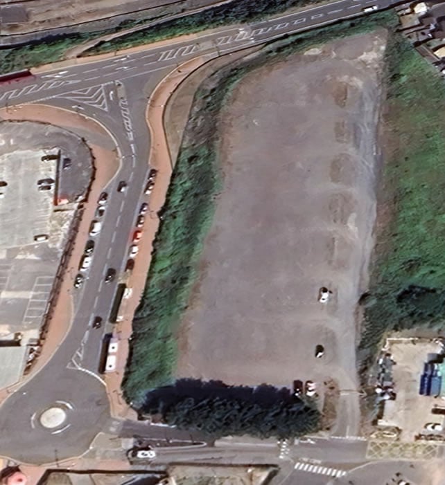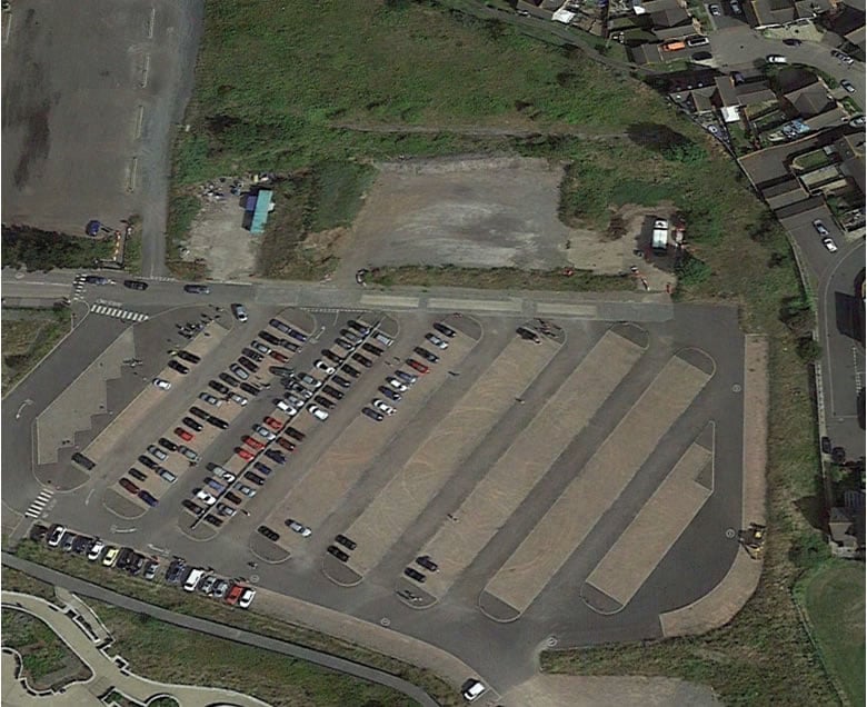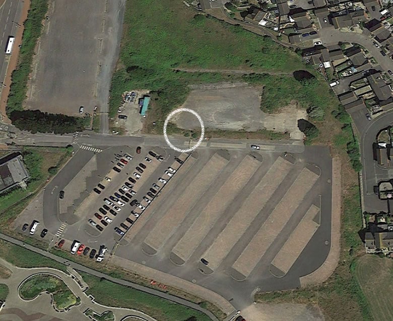
Map data: Google, The GeoInformation Group - Link
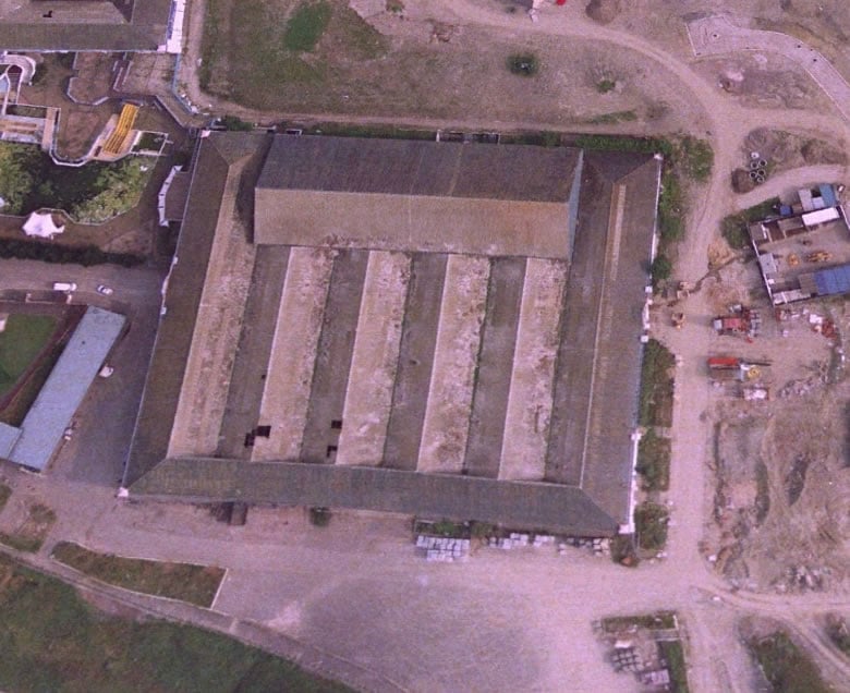
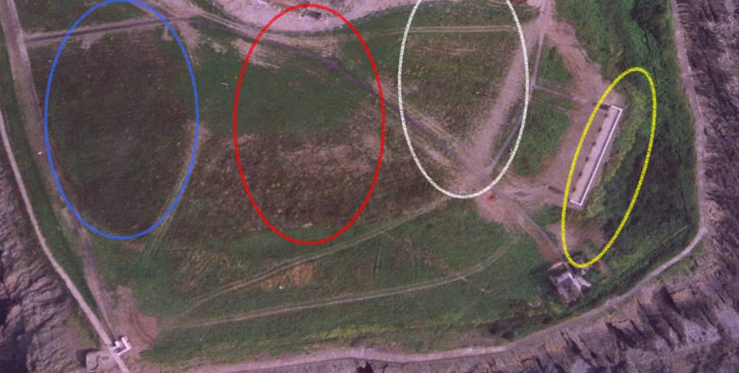
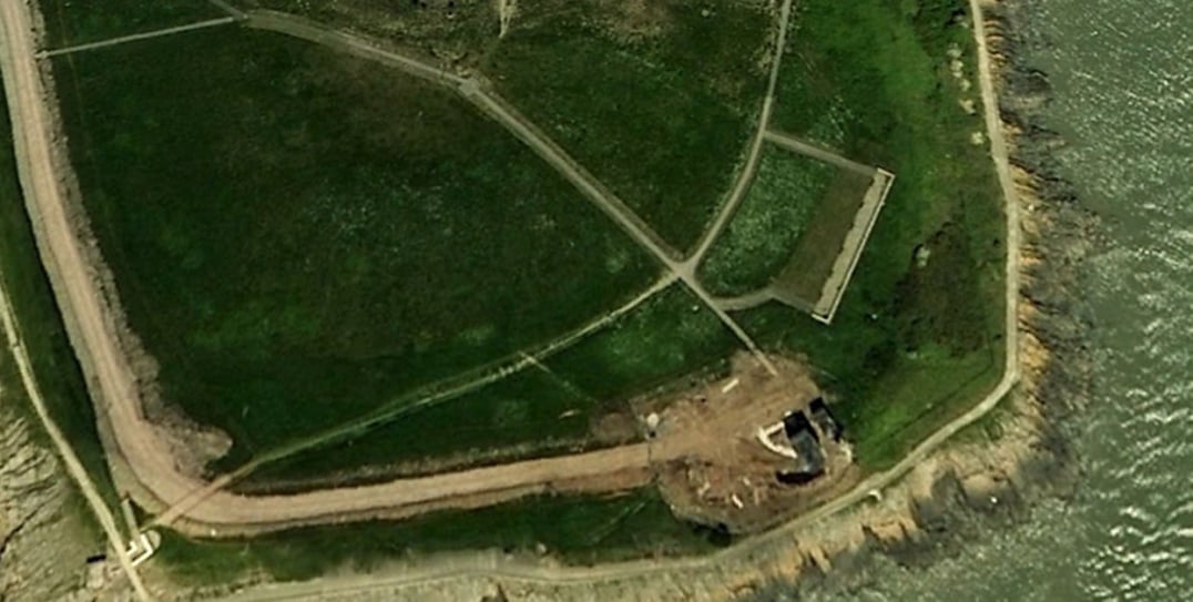
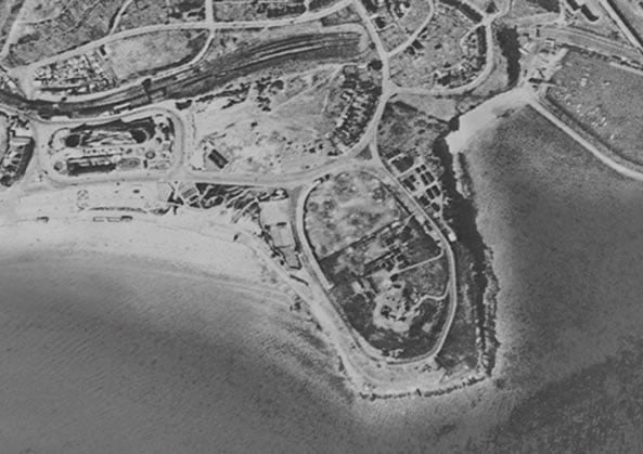
We start our research with this amazing photo from 1945
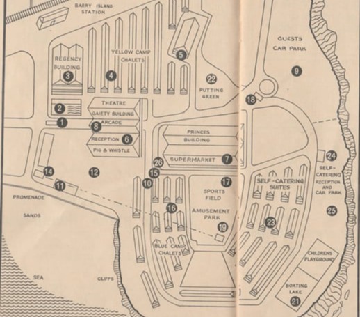
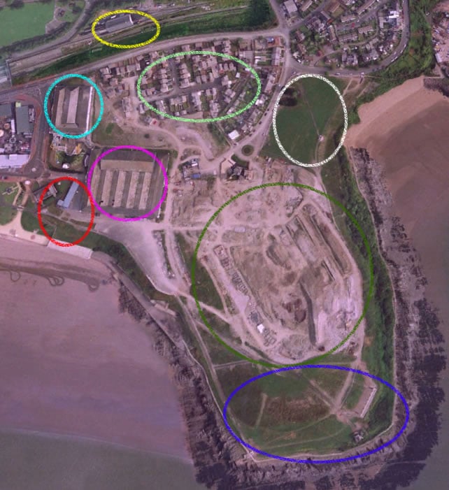
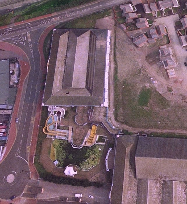
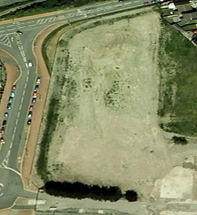
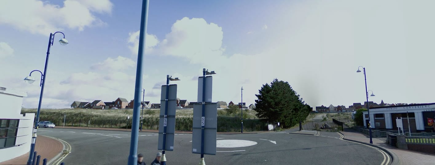
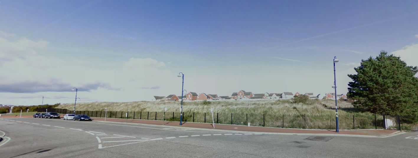
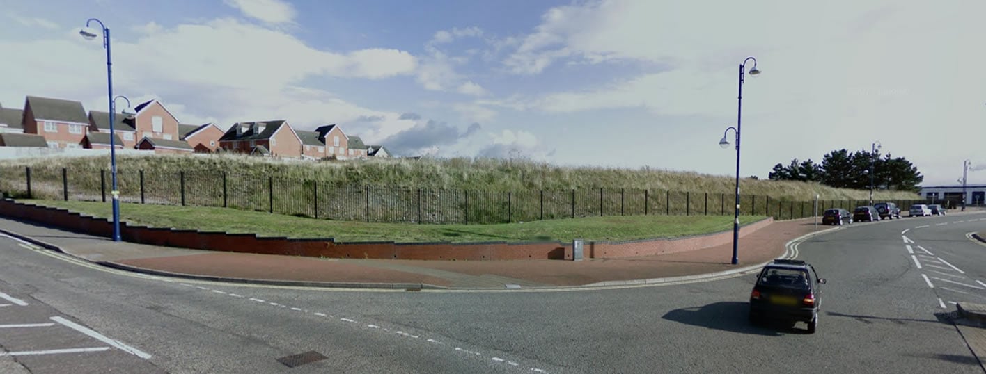
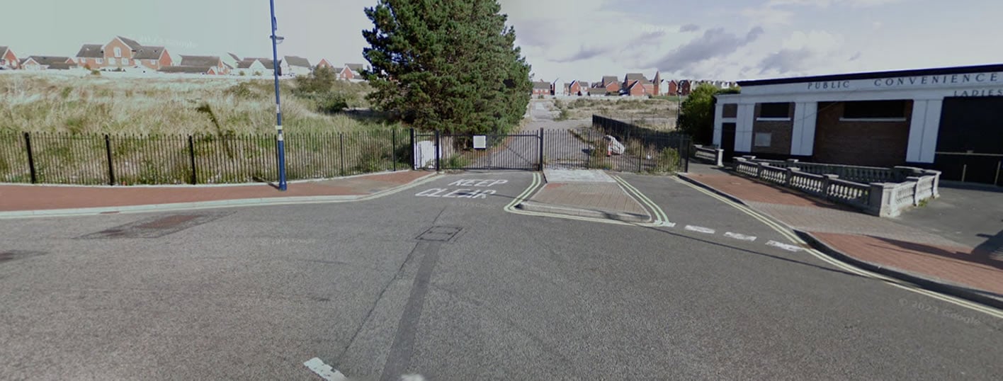
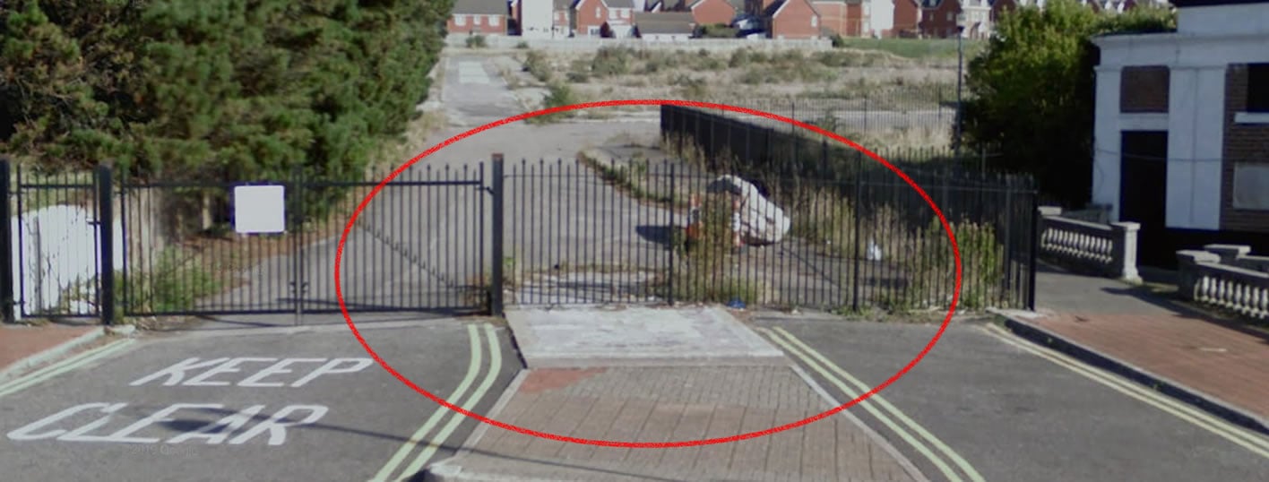
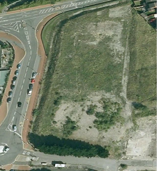
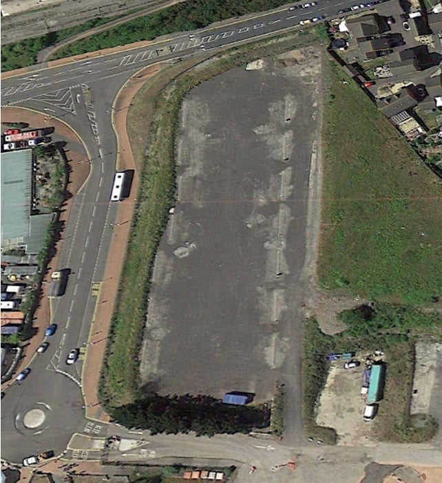
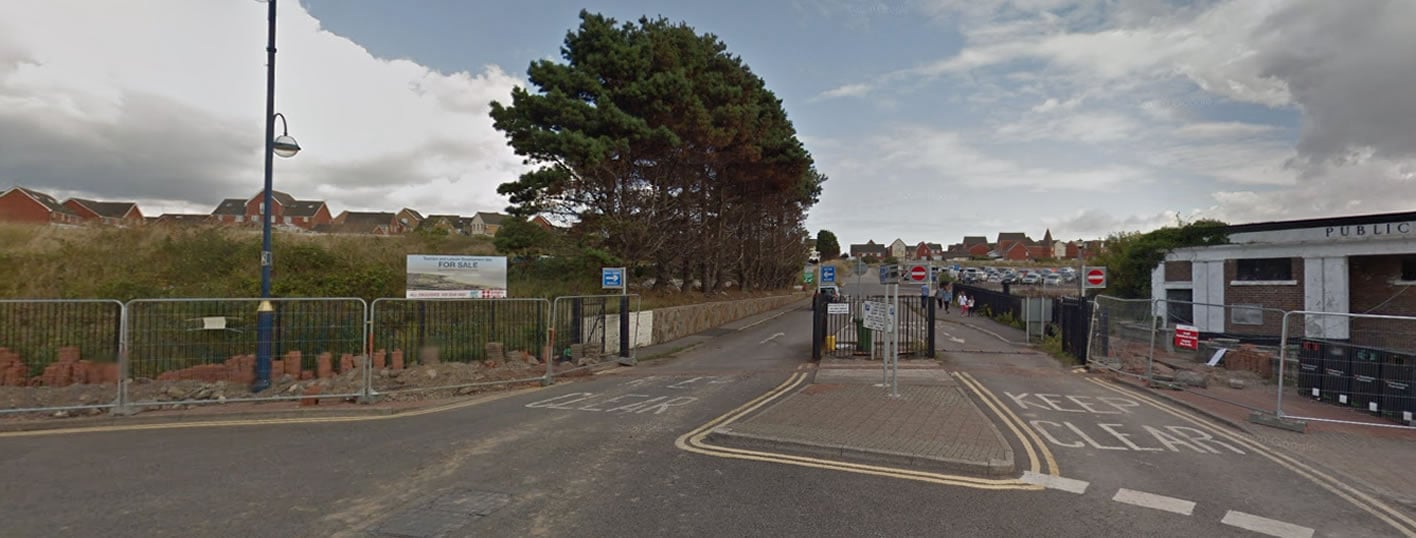
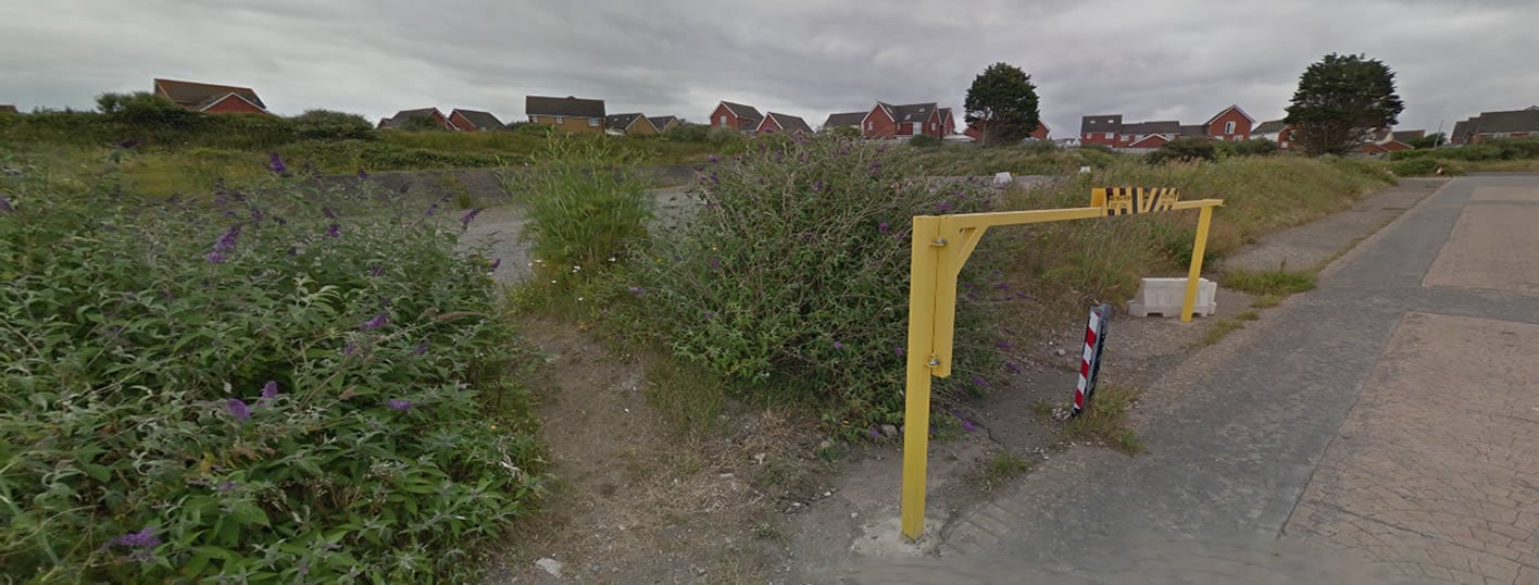
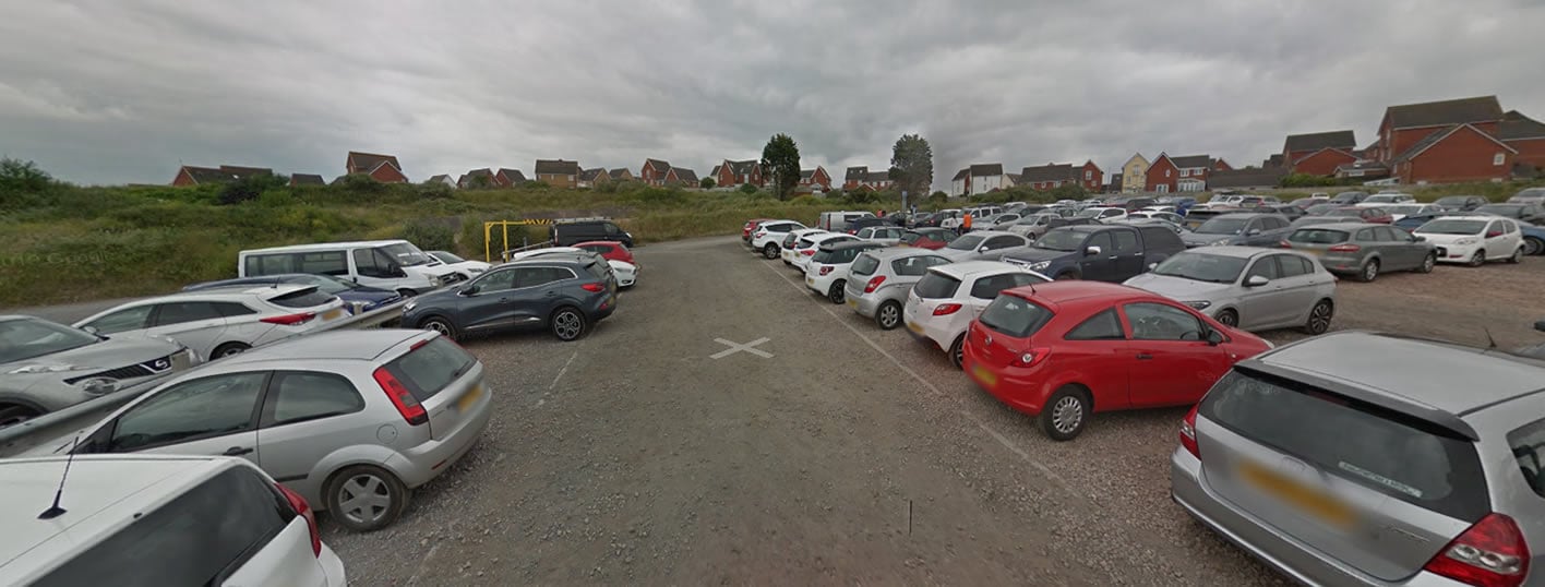
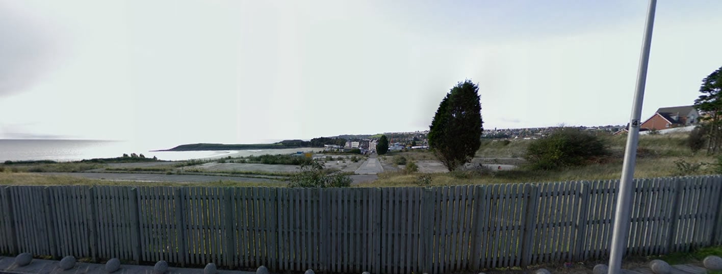
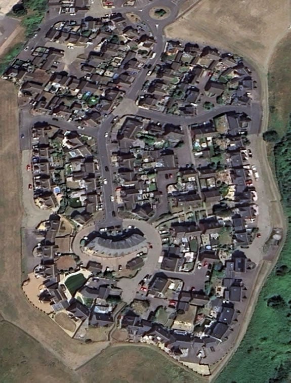
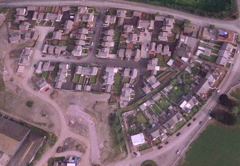
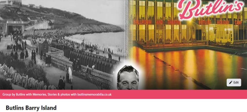
I have a deep appreciation for images like these, which I like to label "Before Butlins" as it shows a location called "Nells Point" in Barry Island. The region was not as developed as it is now, yet this amazing photo tells me that a great individual named Billy Butlin would choose this spot for another Butlin's Holiday camp. At that time, it was not known that this would be the last camp built under his guidance. The narrative started here and ended here, which is a fantastic way to do things.