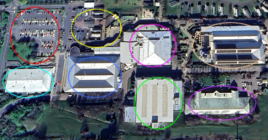
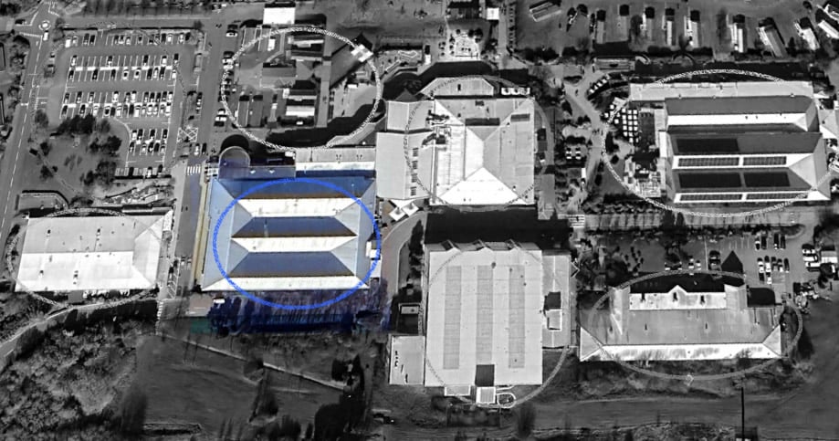
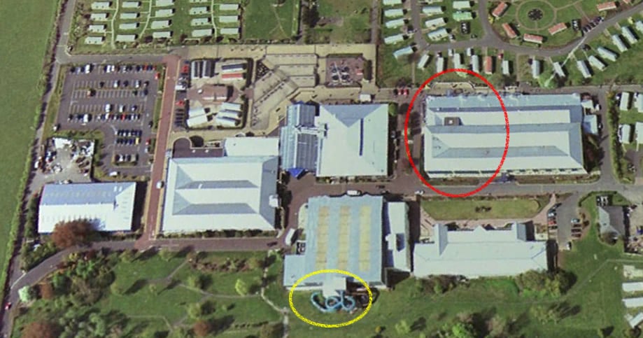
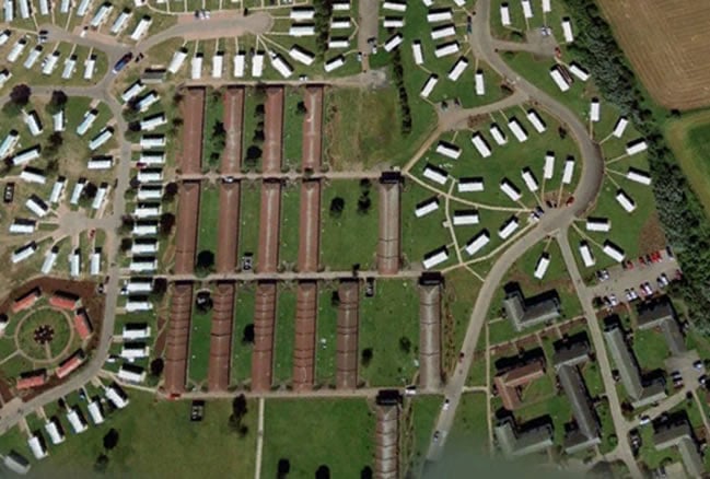
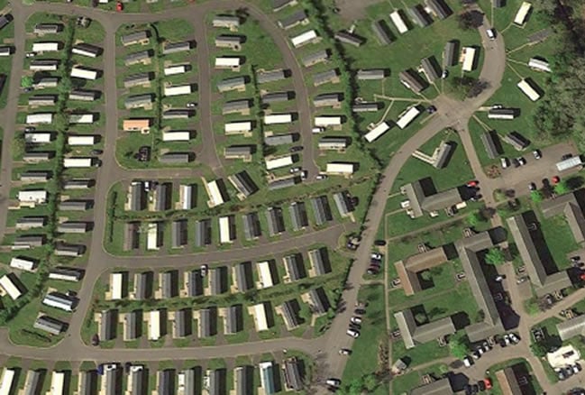
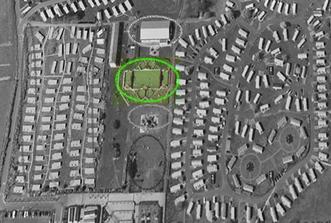
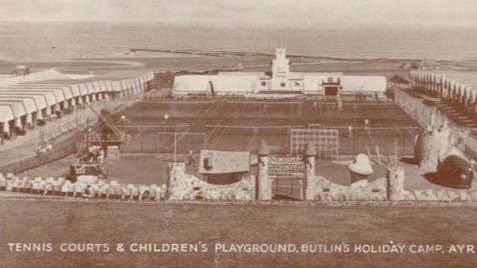
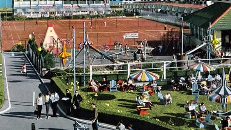
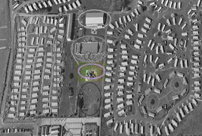
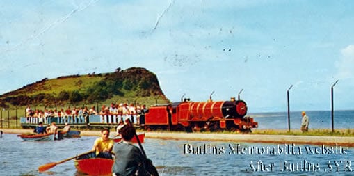
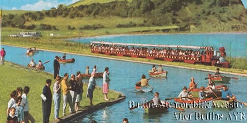
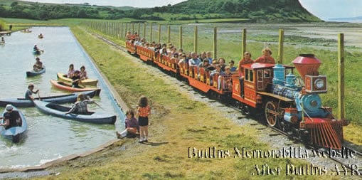
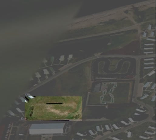
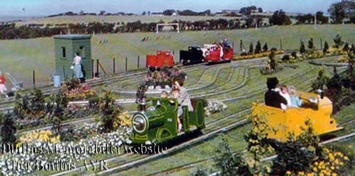
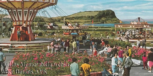
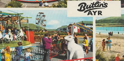
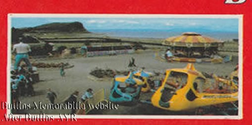
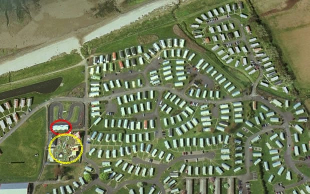
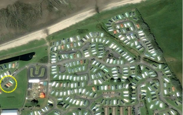
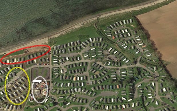
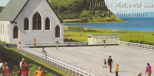
The Butlins AYR Boating Lake
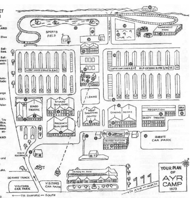
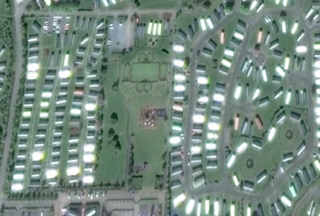
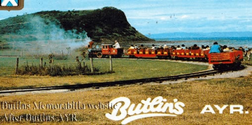
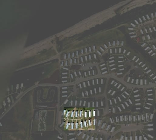
I am unsure of the exact year the boating lake was created, since the Butlins AYR maps do not show its presence until the 1960s or 1970s. Nevertheless, I have a postcard featuring this lake that has a postmark dated 1960. The postmark confirms that it was in existence at that time, although the photo likely predates it, indicating that the lake was there in the 1950s. It was originally referred to as the boating lake and kept this name for the entire time Butlins operated, giving campers a different option to enjoy their experience.
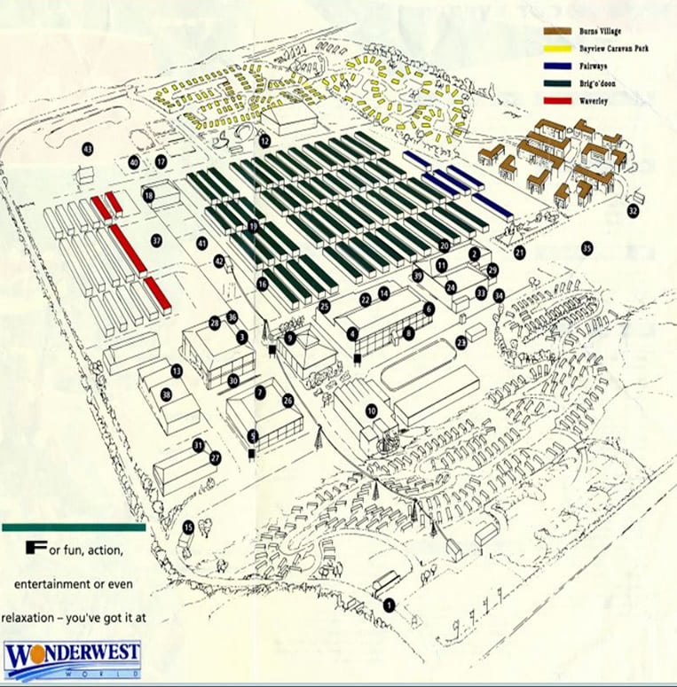
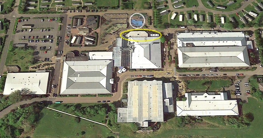
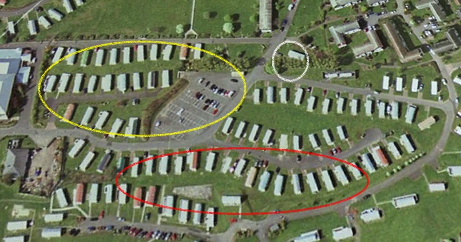
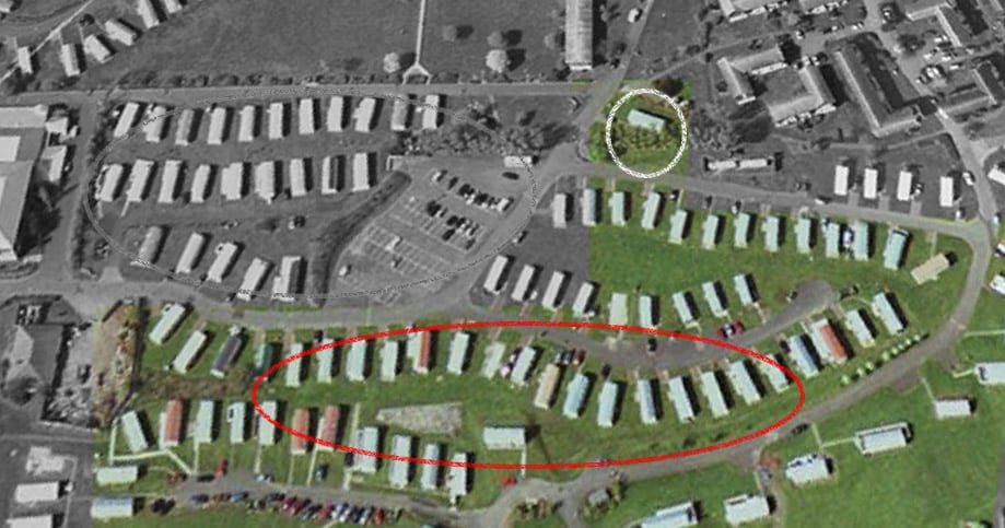
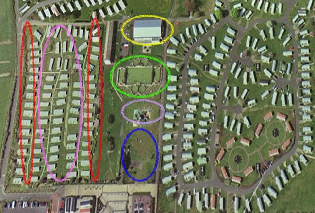
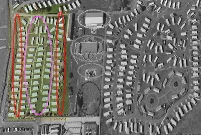
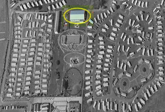
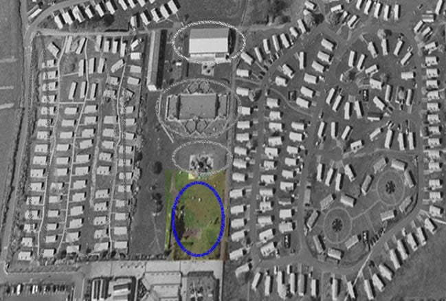
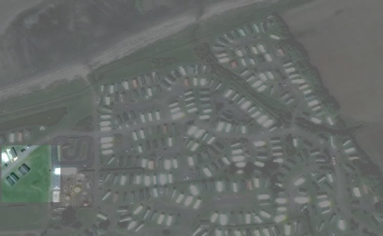
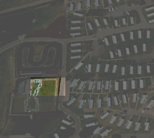
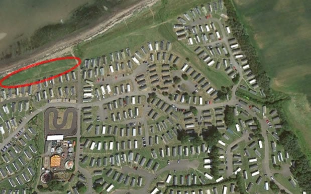
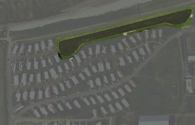
The 2001 Haven map marks its initial change, where it was referred to merely as the pond. By 2011, it had been renamed the Boating Lake and Pond. I am not sure if it was available for customer use at this time, as I do not see any evidence to suggest this.
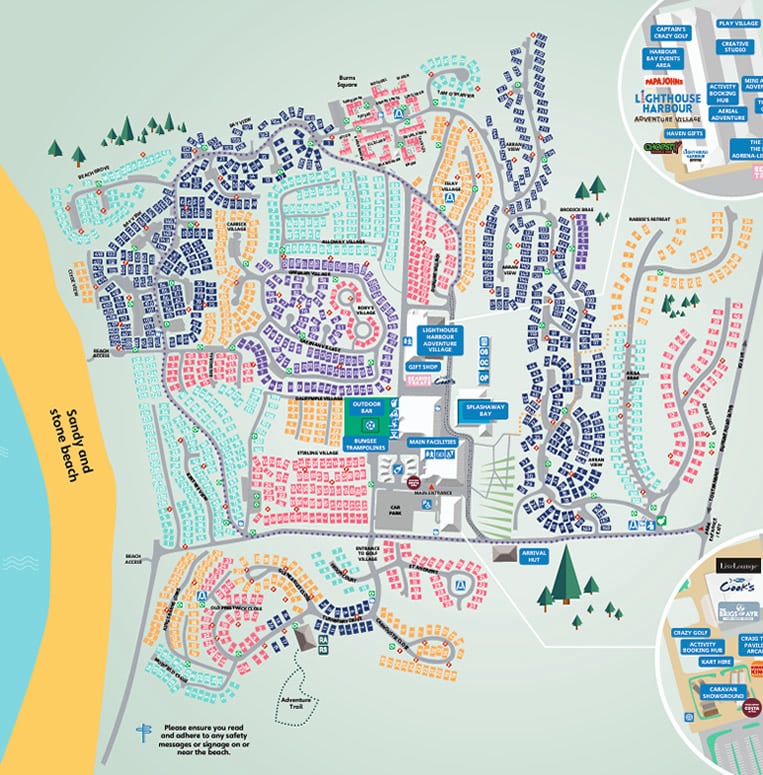
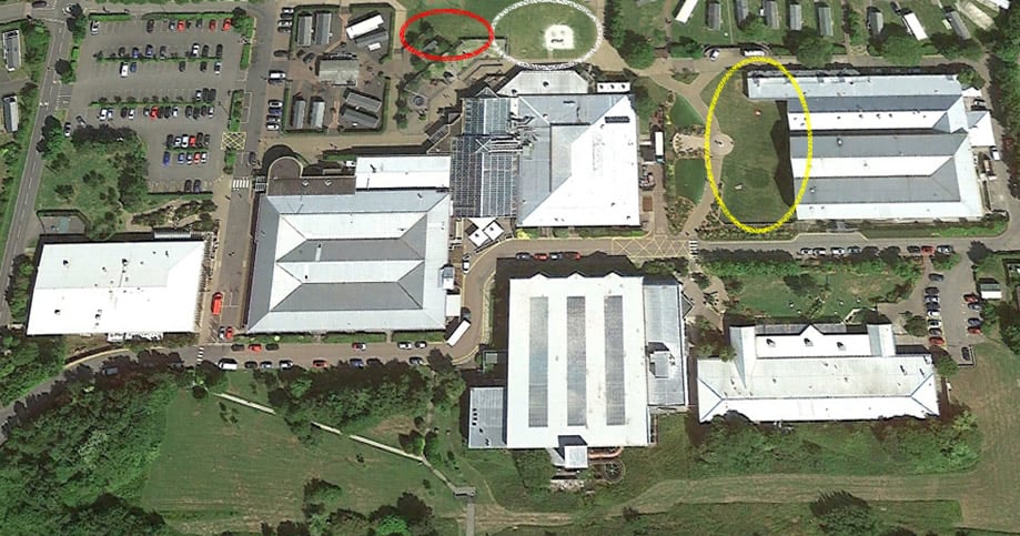
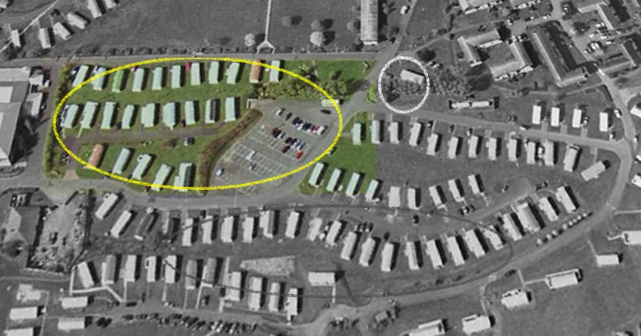
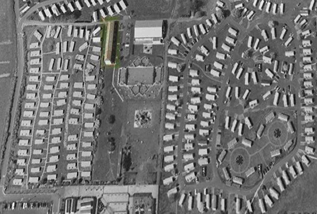
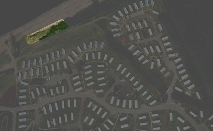
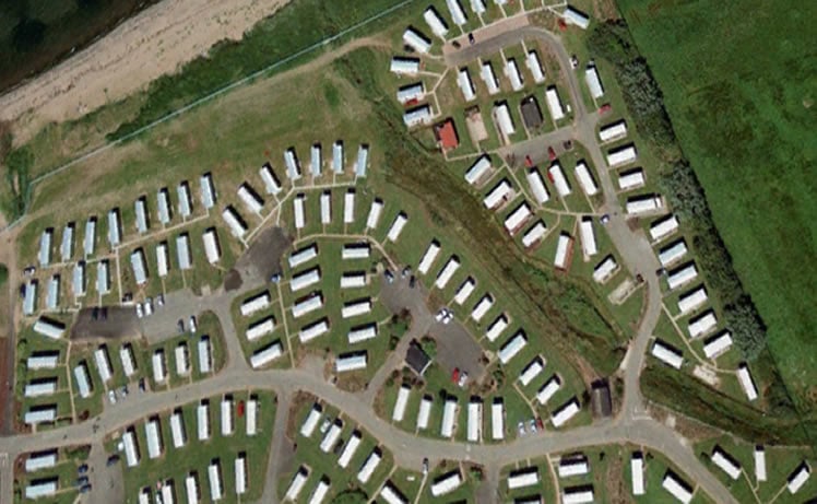
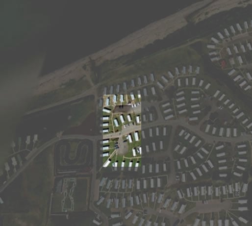
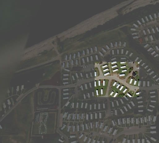
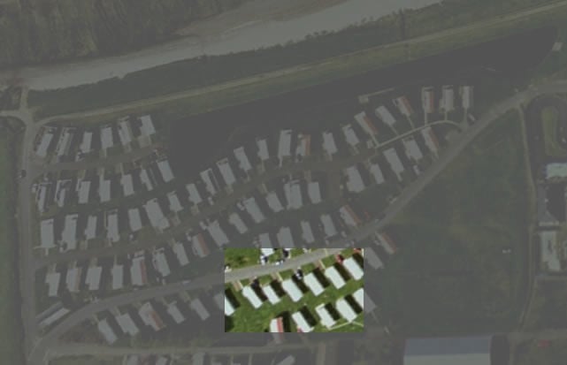
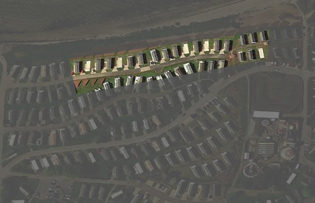
The boating lake and pond were maintained in this condition until 2016, at which point they were drained and dried. By 2025, this site will have become part of the Kintyre View Caravans.